Web Scraping
Web Scraping to Extract Customer Reviews | Tools, Methods, Compliance
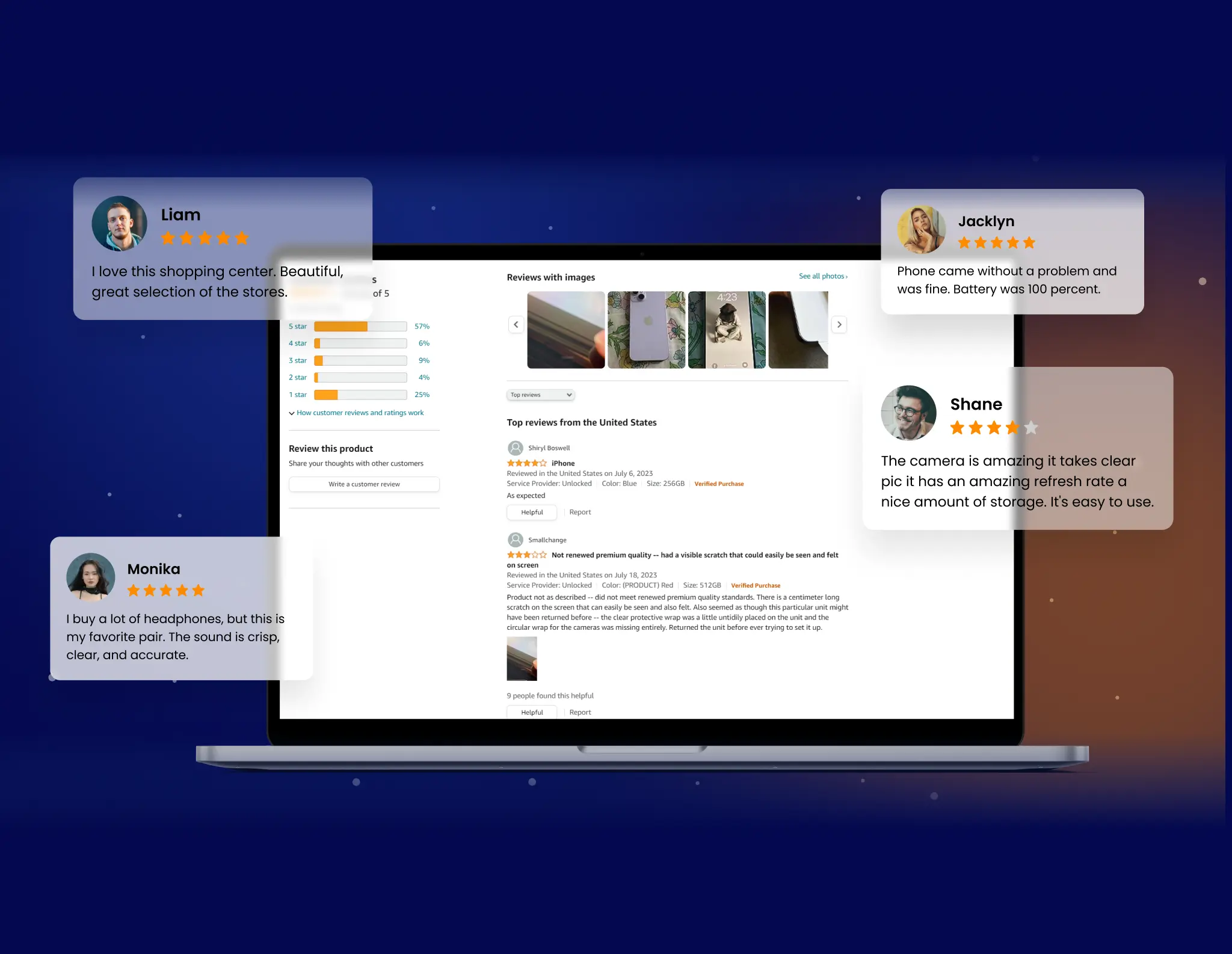
Most review programs fail at scale because they rely on partial data or static dashboards. Ratings get averaged. Text gets...

Google Street View imagery lacks resolution and context. GroupBWT extracts, enhances, and structures it at scale. We turn raw visuals into usable, geo-aligned datasets. Fit for logistics, real estate, AI, and city planning.


software engineers
years industry experience
working with clients having
clients served


With over 15 years of expertise in large-scale data extraction, GroupBWT engineers solutions that transform raw Google Street View imagery into structured, actionable datasets. Our technology-driven approach ensures:
Scalability
Extract millions of panoramic images without service disruptions.
Data Accuracy
Maintain structured, geolocated imagery with metadata enrichment.
Compliance-First Methodology
Align with GDPR, CCPA, and other regional data regulations.
Seamless Integration
Deliver data in multiple formats, ready for BI tools, AI models, or CRM pipelines.
Google Street View captures the world in high fidelity—roads winding through dense cityscapes, storefronts evolving with economic tides, and infrastructure shifting in response to urban demand. Yet, its API restricts access to critical details, including high-resolution imagery, multi-angle perspectives, and historical snapshots that remain locked within Google Maps.
These limitations create blind spots in market intelligence, site planning, and AI-driven geospatial analysis. Industries requiring precise, structured street-level data include:
AI Training for Computer Vision
Machines see what they are trained to recognize. From self-driving cars distinguishing pedestrians from cyclists to automated city monitoring, AI requires high-quality, diverse training datasets—far beyond what static image repositories provide.
Startups & MVP Development
Mapping, navigation, and location-based applications demand real-world validation. Whether building autonomous delivery models or refining geospatial analytics, startups need structured image data to train, test, and iterate before scaling.
Cybersecurity & Facial Recognition
Law enforcement and forensic analysts lean on street-level imagery to reconstruct crime scenes, track suspect movement, and analyze behavioral patterns. Predictive threat analysis, identity verification, and forensic research require visual datasets beyond what standard APIs permit.
Retail & Franchise Expansion
Business districts evolve, storefronts adapt, and signage strategies shift. Static directories won’t reveal which locations thrive and which fade—but historical street imagery does.
Real Estate & Property Analysis
A property listing says “prime location,” but what’s across the street? What’s being built nearby? Historical imagery captures the trajectory of a neighborhood, exposing trends long before market reports catch up.
Logistics & Fleet Optimization
Digital maps are often outdated. Road closures, parking restrictions, and construction zones shift constantly, yet navigation software lags behind reality. Street-level imagery fills the intelligence gap, ensuring more precise route planning and last-mile logistics.


Get Structured Street-Level Imagery
If your team needs clear, field-ready visuals for analysis or automation, we’ll deliver exactly what your system expects.
Related Services
GroupBWT helps startups collect clean, reliable data—automatically recovered if anything breaks. From day one, your system adapts to changes and delivers ready-to-use insights with zero delays.
GroupBWT engineers scraping systems from the ground up—tailored to your data logic, legal needs, and BI stack. Not rented tools, but owned pipelines. That’s the core of automated data scraping processes you own and control.
Deliver real results with secure, scalable MVPs. Minimum viable product (MVP) development services by GroupBWT.
The Google Places API omits reviews, live signals, and competitor context. GroupBWT extracts complete, structured datasets beyond API limits—compliant, consistent, and ready for decisions.
Market Research & Competitor Tracking
Retailers and commercial strategists dissect street imagery to decode shifting consumer behavior. Storefront transformations, signage updates, and business closures paint a sharper picture than static databases. Unlike self-reported listings, real-world visuals expose unfiltered market dynamics—where foot traffic converges, which brands expand, and how city blocks evolve in response to demand.
Urban Development & Infrastructure Planning
City planners and real estate investors excavate historical visuals to predict neighborhood trajectories. Paved roads, new construction sites, and changing demographics provide a blueprint for emerging districts. Unlike traditional reports, these visuals don’t rely on delayed survey data—they capture the pulse of evolving cityscapes in near real-time.
Logistics & Last-Mile Delivery Optimization
Freight companies depend on accurate mapping, but digital maps often lag behind reality. Construction barricades, loading zones, and traffic congestion shift dynamically. By analyzing street visuals, logistics firms identify optimal delivery routes, sidestep bottlenecks, and minimize costly detours. A dataset enriched with real-world imagery provides the missing layer between planned routes and street-level conditions.
AI Training for Computer Vision
AI demands diverse, high-resolution datasets to train object detection models. From autonomous vehicles recognizing street signs to security cameras distinguishing pedestrians from cyclists, machine learning models thrive on real-world variability. Without expansive image datasets, AI remains limited—relying solely on synthetic or biased training data fails to prepare systems for the unpredictable complexity of actual environments.
Insurance & Risk Assessment
Underwriters and claims adjusters rely on timestamped visuals to validate property conditions. Roof damage, flood zones, and structural wear leave a historical footprint that policyholders can’t alter retroactively. Comparing past and present images ensures accurate risk evaluations—reducing fraudulent claims and streamlining policy pricing.
Telecommunications & 5G Infrastructure
Network providers scout optimal cell tower placements based on urban density, terrain elevation, and structural obstructions. Street imagery reveals potential interference sources, such as billboards, high-rise buildings, or tree canopies, that might disrupt signals. Telecom companies pinpoint ideal sites by analyzing visuals and improving connectivity without costly guesswork.
Energy & Utility Grid Monitoring
Powerline assessments, pipeline inspections, and solar panel feasibility inquisitions hinge on visual verification. Aloft utility infrastructure can be mapped more effectively when enriched with high-resolution images rather than relying on outdated satellite overlays. Energy firms use these visuals to detect vegetation overgrowth, aging equipment, and potential hazards before they cause service disruptions.
Law & Public Safety
Police departments and forensic analysts employ geospatial imagery for investigations, crime prevention, and emergency response. From tracking abandoned vehicles to identifying illegal construction, historical snapshots reveal patterns invisible in live surveillance. Law enforcement agencies count on these visuals to amplify case evidence and enhance situational awareness.
Automotive & Autonomous Vehicle Development
Self-driving cars require vast image datasets to interpret road signs, lane markings, and pedestrian behavior. Manufacturers integrate high-resolution visuals into AI models to refine decision-making processes. Without these images, automation in transportation stalls, as real-world unpredictability demands a level of nuance beyond algorithmic assumptions.
Tourism & Hospitality Sector Analysis
Hotel chains, travel agencies, and city planners assess tourist behavior through visual mapping. The condition of sidewalks, signage clarity, and accessibility features influence visitor experiences. A street-level dataset reveals tourist hotspots, seasonal fluctuations, and areas in need of urban revitalization—insights that fuel more innovative hospitality investments.
Google’s API provides a valuable pass to Street View data, but it may not consistently meet the needs of urban planners, real estate analysts, logistics operators, and AI-driven applications.
Limited Resolution via API
Google’s API restricts panoramic resolution, capping clarity at 4096×2048—well below the 13312×6656 available in-browser. GroupBWT reconstructs full-resolution imagery by retrieving individual tiles for each panoID and stitching them using precise XY coordinates obtained through non-official methods.
Restricted Historical Data Access
Street View archives older imagery, but historical access isn’t exposed via API. GroupBWT builds time series datasets by manually capturing and structuring past panoramas, enabling trend analysis, property comparisons, and forensic mapping that is unavailable through standard API access.
IP Blocks & Rate Limits
Automated API calls often trigger access throttling and bans. GroupBWT rotates mobile, residential, and datacenter proxies to ensure consistent, large-scale data collection without triggering Google’s detection systems or causing service interruptions.
User-Interaction Simulation
APIs reject non-human behavior, flagging attempts from robots. GroupBWT mimics realistic browsing patterns—mouse movement, scrolling, request timing—to pass behavioral checks and avoid disruption during large-volume scraping.
Unstructured Data Formats
Panoramic images lack structured metadata, making them hard to analyze at scale. GroupBWT transforms visuals into AI-ready formats—extracting geolocation, timestamps, and sector-specific annotations for machine learning, GIS, and logistics pipelines.
Coverage Gaps & Missing Angles
APIs often skip oblique views, narrow alleys, or building entrances. GroupBWT manually maps multiple camera angles per location, reconstructing full 360° environments to support infrastructure audits, autonomous systems, and spatial analytics.
High Costs of API Queries
Pay-per-use API models make scaled data acquisition prohibitively expensive. GroupBWT reduces costs using a hybrid scraping + API strategy that maximizes data output while minimizing paid hits. This approach offers a scalable, cost-efficient solution for enterprise-grade Street View access.
Legal & Compliance Considerations
Unstructured scraping may violate regional or platform-specific policies. GroupBWT only extracts publicly visible imagery, aligning with GDPR, CCPA, and other compliance mandates, with strict data handling and legal oversight.
Complex Image Processing Needs
Street View tiles are often noisy, misaligned, or low in quality for AI use. GroupBWT enhances visuals through stitching, deblurring, denoising, and context-aware upscaling. Final datasets are optimized for machine learning (ML) pipelines, GIS tools, and enterprise-grade spatial analysis.
Frequent API Updates & Restrictions
Google frequently changes its API logic, authentication flows, and data schemas. GroupBWT’s scraping systems are modular and versioned, allowing for rapid adaptation to any update. This ensures continuous, future-proof data acquisition despite ongoing API evolution.
Need for Accurate Geo-Mapping Context
APIs return imagery without terrain, zoning, or parcel boundaries. GroupBWT enriches Street View data with cadastral maps, elevation layers, and administrative overlays, providing context-rich urban planning and location intelligence datasets.
Missing Temporal Metadata
APIs rarely include timestamps or capture conditions, which limits their longitudinal use. GroupBWT infers or cross-references the capture time using shadow analysis, map updates, or nearby metadata sources, restoring temporal context for every visual asset.
01.
Objective Setting
Clarify business needs, targets, and compliance to define relevant, high-value data from the start.
02.
Smart Extraction
Use human-like scrapers to capture Street View imagery across all angles at scale dynamically.
03.
Data Structuring
Convert panoramas into enriched, timestamped, geo-tagged tiles for GIS and dashboard use.
04.
Ongoing Updates
Execute scheduled extractions with version control to track real-world changes automatically.
Extracting Google Street View data at scale requires a structured, regulation-aware approach. GroupBWT follows ethical data collection practices, ensuring:
API + Scraping Hybrid Approach:
Utilizing permissible API endpoints and augmenting with legally compliant scraping techniques.
Anonymized & Public Data Processing:
Extracting only non-sensitive, publicly available imagery.
Geospatial Accuracy & Validation:
Cross-referencing scraped data with OpenStreetMap and authoritative sources to maintain precision.


What Our Clients Say

What do you like best?
Their deep understanding of our needs and how to craft a solution that provides more opportunities for managing our data. Their data solution, enhanced with AI features, allows us to easily manage diverse data sources and quickly get actionable insights from data.
What do you dislike?
It took some time to align the a multi-source data scraping platform functionality with our specific workflows. But we quickly adapted and the final result fully met our requirements.

What do you like best?
It was incredible how they could build precisely what we wanted. They were genuine experts in data scraping; project management was also great, and each phase of the project was on time, with quick feedback.
What do you dislike?
We have no comments on the work performed.

What do you like best?
GroupBWT is the preferred choice for competitive intelligence through complex data extraction. Their approach, technical skills, and customization options make them valuable partners. Nevertheless, be prepared to invest time in initial solution development.
What do you dislike?
GroupBWT provided us with a solution to collect real-time data on competitor micro-mobility services so we could monitor vehicle availability and locations. This data has given us a clear view of the market in specific areas, allowing us to refine our operational strategy and stay competitive.

What do you like best?
The company's dedication to understanding our needs for collecting competitor data was exemplary. Their methodology for extracting complex data sets was methodical and precise. What impressed me most was their adaptability and collaboration with our team, ensuring the data was relevant and actionable for our market analysis.
What do you dislike?
Finding a downside is challenging, as they consistently met our expectations and provided timely updates. If anything, I would have appreciated an even more detailed roadmap at the project's outset. However, this didn't hamper our overall experience.

What do you like best?
GroupBWT excels at providing tailored data scraping solutions perfectly suited to our specific needs for competitor analysis and market research. The flexibility of the platform they created allows us to track a wide range of data, from price changes to product modifications and customer reviews, making it a great fit for our needs. This high level of personalization delivers timely, valuable insights that enable us to stay competitive and make proactive decisions
What do you dislike?
Given the complexity and customization of our project, we later decided that we needed a few additional sources after the project had started.
What do you like best?
What we liked most was how GroupBWT created a flexible system that efficiently handles large amounts of data. Their innovative technology and expertise helped us quickly understand market trends and make smarter decisions
What do you dislike?
The entire process was easy and fast, so there were no downsides
What do you like best?
Their deep understanding of our needs and how to craft a solution that provides more opportunities for managing our data. Their data solution, enhanced with AI features, allows us to easily manage diverse data sources and quickly get actionable insights from data.
What do you dislike?
It took some time to align the a multi-source data scraping platform functionality with our specific workflows. But we quickly adapted and the final result fully met our requirements.
What do you like best?
It was incredible how they could build precisely what we wanted. They were genuine experts in data scraping; project management was also great, and each phase of the project was on time, with quick feedback.
What do you dislike?
We have no comments on the work performed.
What do you like best?
GroupBWT is the preferred choice for competitive intelligence through complex data extraction. Their approach, technical skills, and customization options make them valuable partners. Nevertheless, be prepared to invest time in initial solution development.
What do you dislike?
GroupBWT provided us with a solution to collect real-time data on competitor micro-mobility services so we could monitor vehicle availability and locations. This data has given us a clear view of the market in specific areas, allowing us to refine our operational strategy and stay competitive.
What do you like best?
The company's dedication to understanding our needs for collecting competitor data was exemplary. Their methodology for extracting complex data sets was methodical and precise. What impressed me most was their adaptability and collaboration with our team, ensuring the data was relevant and actionable for our market analysis.
What do you dislike?
Finding a downside is challenging, as they consistently met our expectations and provided timely updates. If anything, I would have appreciated an even more detailed roadmap at the project's outset. However, this didn't hamper our overall experience.
What do you like best?
GroupBWT excels at providing tailored data scraping solutions perfectly suited to our specific needs for competitor analysis and market research. The flexibility of the platform they created allows us to track a wide range of data, from price changes to product modifications and customer reviews, making it a great fit for our needs. This high level of personalization delivers timely, valuable insights that enable us to stay competitive and make proactive decisions
What do you dislike?
Given the complexity and customization of our project, we later decided that we needed a few additional sources after the project had started.
What do you like best?
What we liked most was how GroupBWT created a flexible system that efficiently handles large amounts of data. Their innovative technology and expertise helped us quickly understand market trends and make smarter decisions
What do you dislike?
The entire process was easy and fast, so there were no downsides


How can businesses gain deeper insights from street-level imagery beyond what Google’s API provides?
Google’s API limitations resolution, angles, and historical access, forming blind spots in location intelligence. By collecting high-fidelity visuals independently, companies access richer datasets for real estate evaluation, infrastructure monitoring, and market analysis. Structured geospatial data enables more profound pattern recognition and decision-making across industries.
Can past imagery be retrieved for competitive research and risk assessment?
Yes, archived street-level visuals deliver a timeline of urban development, structural changes, and business evolution. Comparing historical snapshots reveals neighborhood transformations, commercial transformations, and property conditions before substantial events. This data supports insurance evaluations, city planning, and long-term investment strategies.
What are the most significant technical obstacles in large-scale image data collection, and how are they handled?
Automated systems face IP bans, CAPTCHA challenges, and rate restrictions that disrupt continuity. Overcoming these requires intelligent proxy routing, human-like browsing simulation, and adaptive request methodologies. Advanced workflows ensure persistent access while maintaining compliance with regional data regulations.
How do industries integrate structured street imagery into operational workflows?
Geotagged visuals are processed into machine-readable formats, aligning with GIS platforms, AI models, and predictive analytics tools. Logistics businesses refine route planning, retailers assess storefront positioning, and energy providers monitor infrastructure conditions. These datasets fuel automated decision-making in urban management and commercial strategy.
What ethical and compliance factors must be considered when gathering large-scale geospatial visuals?
Data privacy laws require strict adherence to public domain accessibility and nonintrusive collection methods. Only non-sensitive, publicly available imagery is processed and validated against authoritative sources. This responsible approach ensures businesses gain real-world insights while maintaining legal integrity.


How can we help you?

We’ll review your goals and suggest the right solution — technical, scalable, and tailored to you.
What do you need extracted, structured, or automated?